Shipwreck on Google Maps
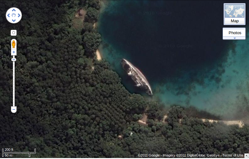
A new finding on Google Maps has popped up on the Web today. There's a shipwreck from 2000 on Google Maps satellite view.

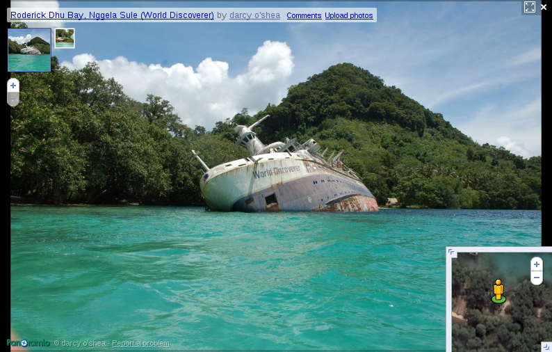
It's named the World Discoverer. The wreck is located in the Solomon Islands, Northeast of Australia at coordinates S 9.023064, E 160.122879. It's a little creepy.

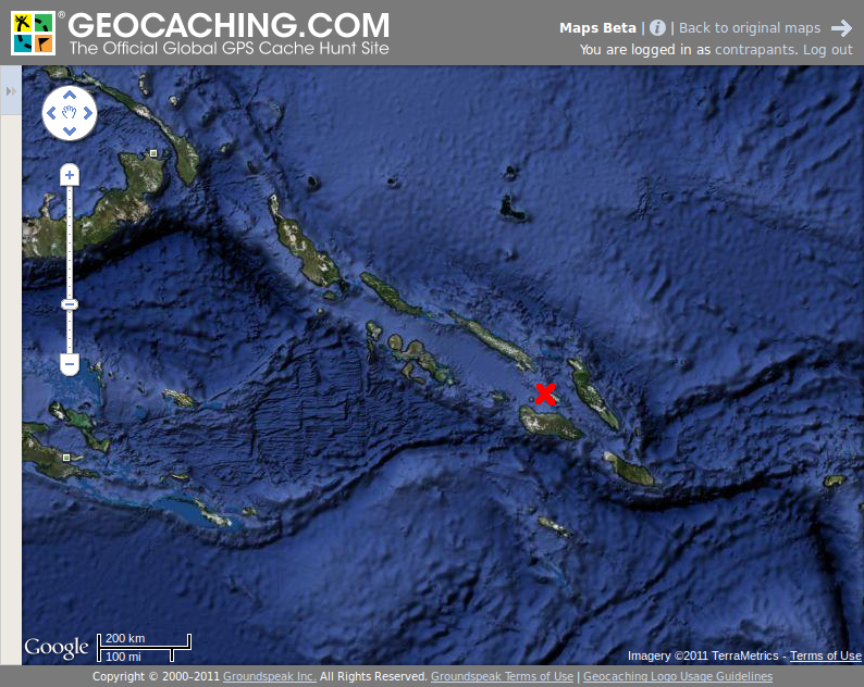
It's actually right next to a yacht club. That means there's civilization nearby. An interesting location and easily accessible with known GPS coordinates... my mind went to one question: is there a geocache nearby?

According to my completely non-scientific pixel measurement, the closest geocache is about 650 miles away. Maybe I should go put one near the wreck...

